 HND in Topography (2 Years)
A career-focused diploma producing skilled land surveying technicians for infrastructure and geospatial sectors.
Core Competencies:
-
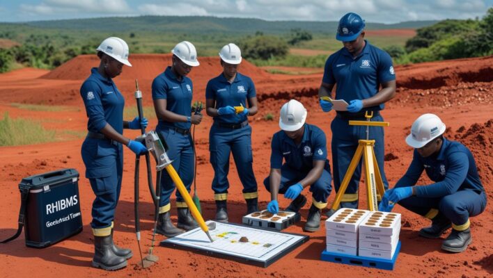
Land surveying techniques (GPS, GNSS, total stations)
-
Cartography & geographic data visualization
-
Geodetic calculations & coordinate systems
-
GIS applications (ArcGIS, QGIS)
-
Drone surveying (UAV photogrammetry basics)
Practical Training Modules:
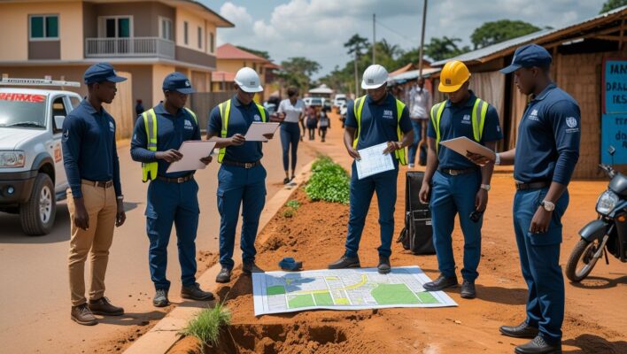
✔️ Field camps (2-week intensive surveying projects)
✔️ Cadastral surveying simulations (boundary marking, parcel mapping)
✔️ Topographic software labs (AutoCAD Civil 3D, Leica Infinity)
✔️ 250-hour industry internship
Career Pathways:
-
Surveying Technician
-
GIS Field Operator
-
Cartographic Assistant
-
Mining/Construction Surveyor
-
Geospatial Data Collector
African Context Focus:
🔹 Customized training for:
-
Rapid urbanization mapping
-
Rural land tenure documentation
-
Natural resource exploration
Progression Options:
→ Direct entry into Year 3 of Geomatics/BSc Surveying degrees
→ Professional certification (Surveyors Council licensing exams)
Ideal For:
Students seeking hands-on roles in:
-
Government mapping agencies
-
Construction firms
-
Utility companies
-
Environmental consultancies
Accredited by [National Surveying Council] and aligned with international geospatial standards (FIG/ISO).
Key Differentiators:
-
Dual focus on traditional surveying and digital geospatial tools
-
Fieldwork-heavy curriculum (60% practical)
-
Partnerships with land ministries and mining companies